


What to know
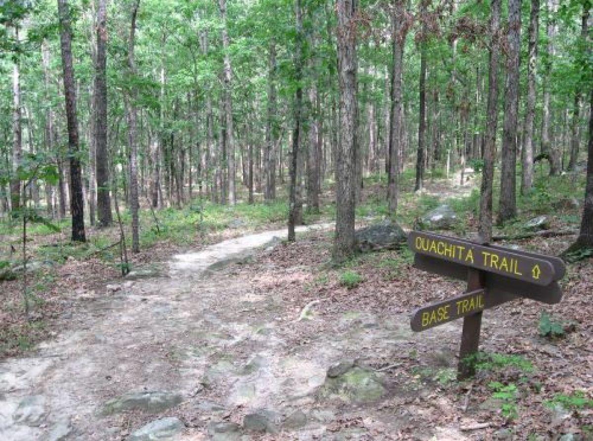
Official Trail Map: Ouachita National Recreation Trail
Difficulty Level: Varies
This is the longest trail in the Ouachita National Forest spanning 192 miles across its entire length. In the west, the trail begins at Talimena State Park on Highway 271 near Talihina, Oklahoma. The eastern boundary is south of Perryville, Arkansas on Highway 9. There is a trailhead on the Talimena Scenic Drive just past the west end of the Queen Wilhelmina State Park campground. Parking is available at the lodge.
An additional 32 miles of trail, located on private and other public lands, extends to Pinnacle Mountain State Park, 15 miles west of Little Rock, Arkansas. Elevations range from 600 to 2,600 feet as the trail passes through forested mountains, across sweeping valleys and near clear-running streams. Spur trails connect to various recreation areas and points of interest. Numerous road crossings and access points provide opportunities for point to point hikes of various distances.
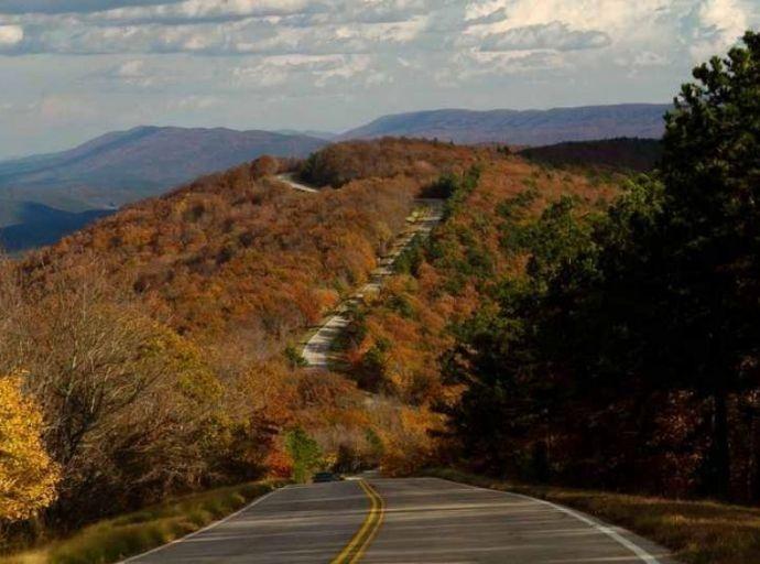
The trail traverses the pine- and oak-clad Ouachita Mountains, the highest peaks from the Rockies to the Appalachians. These are unique mountains — running east-west rather than north-south — with interesting geological features. The area is characterized by clear streams and wide valleys, picturesque rock outcroppings and sharp ridges with panoramic views.
Paralleling portions of the 54-mile Talimena Scenic Byway between Talihina, Oklahoma, and Mena, Arkansas, the trail crests Winding Stair and Rich Mountains, opening a showcase of forested mountains and sweeping valleys.
The history of struggling pioneers in the young state of Arkansas and the Choctaw Tribe in Indian Territory is highlighted at several vistas and historical sites along the Byway. Spur trails connect to the Robert S. Kerr Memorial Arboretum and Nature Center, an interpretive complex resting between the mountains and Cedar Lake Recreation Area. Other scenic highlights include Pipe Spring Picnic Area, Old Military Road, Emerald Vista, Winding Stair Campground, Horsethief Springs and Talimena State Park.
Attractions along the Arkansas section of the trail include:
Rich Mountain featuring Queen Wilhelmina State Park, Lover’s Leap, the spectacular Talimena Scenic Byway, Big Brushy Recreation Area, Blowout Mountain Scenic Area, Womble Trail, Lake Ouachita, Ouachita Pinnacle, Iron Springs Recreational Area, Alum Creek Experimental Forest, Forked Mountain, Flatside Wilderness, Flatside Pinnacle, North Fork Pinnacle, and Lake Sylvia Recreation Area.
Other Local Attractions